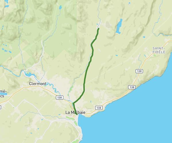
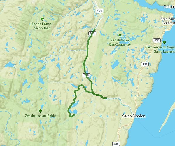
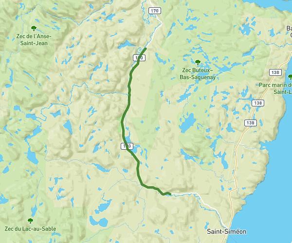
This hiking trail covers 15.565mi starting from Petit-Saguenay, Quebec. The hike does not return to the trailhead and ends near Rue Saint-Étienne, G5A 1M2 La Malbaie. This hike is rated as moderate, plan for about 3h17m to complete it. The route has an elevation gain of 755ft and an elevation loss of 2165ft.
Jour 6 - Refuge L’Épervier / La Malbaie
Route details
5.47mph
Speed
1404 kcal
Calories burned
3.6%
Avg grade
Point to point
Route type
3ft
Min altitude
1844ft
Max altitude
Route profile
755ft
Elevation gain
2165ft
Elevation loss
3ft
Min altitude
1844ft
Max altitude
How to get there
Trailhead: G0V 1N0 Petit-Saguenay
GPS coordinates of the trailhead: 47.84614, -70.12036 / 47°50'46'' N, 70°7'13'' W