MapPlanner
8.52mi
Distance
1h22m
Duration
9:38/mi
Pace
Easy
Level

14 kils Bray Dunes

Route details

6.23mph
Speed
938 kcal
Calories burned
Loop trail
Route type
0ft
Min altitude
30ft
Max altitude

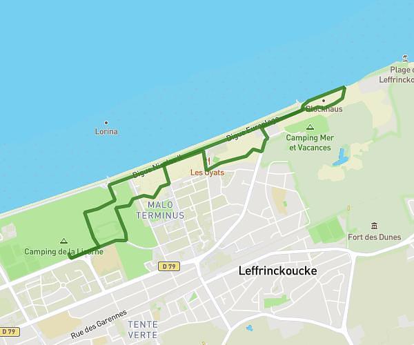
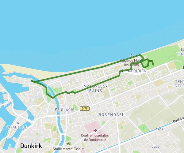
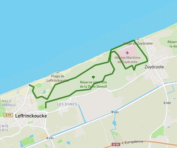
This running route covers 8.52mi starting from Bray-Dunes, West Flanders. The run is a loop trail and returns to the trailhead. This run is rated as easy, expect about 1h22m to complete it. The route has an elevation gain of 95ft and an elevation loss of 95ft.

Description of the route by the creator

hotel Evancy - hospital by greenway Hospital -camping Perroquet by beach Camping Perroquet - hotel Evancy

(Description automatically translated)

Route profile

95ft
Elevation gain
95ft
Elevation loss
0ft
Min altitude
30ft
Max altitude

How to get there

Trailhead: 11 Rue Des Dunes, 59123 Bray-Dunes, France

GPS coordinates of the trailhead: 51.07602, 2.55514 / 51°4'33'' N, 2°33'18'' E

Caution: May Cross Private Property

This route may pass through or near private property. Always respect posted signs, obtain permission where required, and follow local trespassing laws. MapPlanner does not guarantee public access along any route.

Safety Notice

Trail and road conditions may change without notice due to weather, construction, or other factors. Always verify current conditions before heading out. You are responsible for your own safety — follow local signage, obey traffic laws, and use your best judgment on the trail.