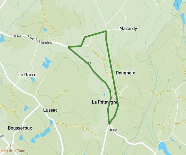
This walking route covers 0.593mi starting from Sainte-Marie-de-Vaux, Haute-Vienne. The walk is a loop trail and returns to the trailhead. This walk is rated as easy, plan for about 16h54m to complete it. The route has an elevation gain of 62ft and an elevation loss of 26ft.
Thalian
Route details
Pace
4141 kcal
Calories burned
Loop trail
Route type
1040ft
Min altitude
1102ft
Max altitude
Route profile
62ft
Elevation gain
26ft
Elevation loss
1040ft
Min altitude
1102ft
Max altitude
How to get there
Trailhead: Rue Des Petites Vignes, 87420 Sainte-Marie-de-Vaux
GPS coordinates of the trailhead: 45.85384, 1.03385 / 45°51'13'' N, 1°2'1'' E