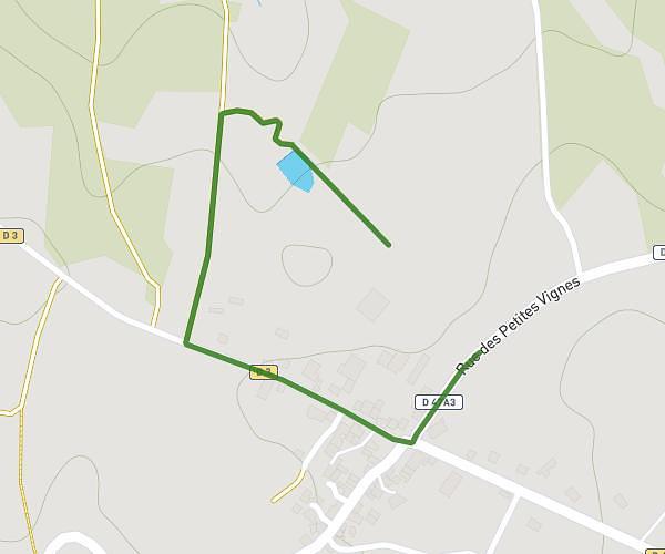
This walking route covers 2.308mi starting from Champsac, Haute-Vienne. The walk is a loop trail and returns to the trailhead. This walk is rated as easy, plan for about 52m to complete it. The route has an elevation gain of 220ft and an elevation loss of 220ft.
Mise en route
Route details
22:30/mi
Pace
212 kcal
Calories burned
Loop trail
Route type
1043ft
Min altitude
1217ft
Max altitude
Route profile
220ft
Elevation gain
220ft
Elevation loss
1043ft
Min altitude
1217ft
Max altitude
How to get there
Trailhead: Rue Des Écoles, 87230 Champsac, France
GPS coordinates of the trailhead: 45.688042, 0.987945 / 45°41'16'' N, 0°59'16'' E