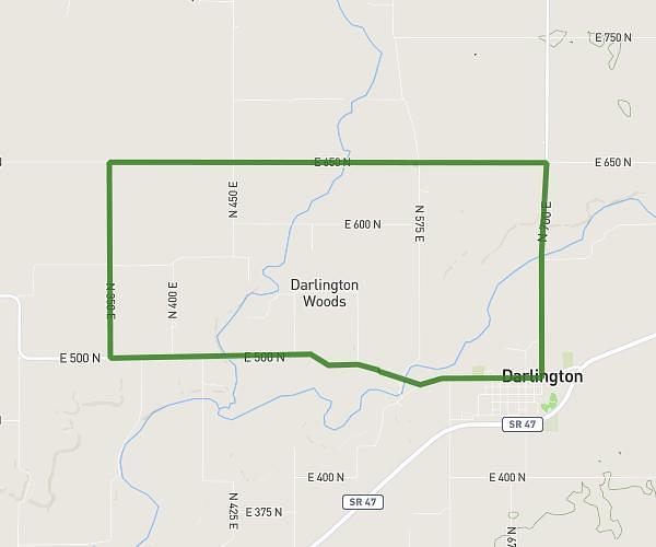
This cycling route covers 39.801mi starting from Indianapolis, Indiana. The ride does not return to the trailhead and ends near 7520 Hoover Road, Indianapolis, Indiana 46260, United States. This route is rated as hard, plan for about 3h3m to complete it. The route has an elevation gain of 105ft and an elevation loss of 154ft.
Fort Ben + Mass Boulder
Route details
1608 kcal
Calories burned
0.1%
Avg grade
Point to point
Route type
725ft
Min altitude
810ft
Max altitude
Route profile
105ft
Elevation gain
154ft
Elevation loss
725ft
Min altitude
810ft
Max altitude
How to get there
Trailhead: 1114 West 75th Street, Indianapolis, Indiana 46260, United States
GPS coordinates of the trailhead: 39.88978, -86.17853 / 39°53'23'' N, 86°10'42'' W