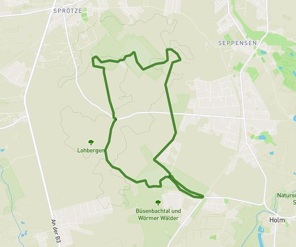
This hiking trail covers 8.194mi starting from Bispingen, Lower Saxony. The hike is a loop trail and returns to the trailhead. This hike is rated as moderate, plan for about 3h6m to complete it. The route has an elevation gain of 568ft and an elevation loss of 568ft.
Lüneburger Heide
Route details
2.64mph
Speed
1330 kcal
Calories burned
2.6%
Avg grade
Loop trail
Route type
305ft
Min altitude
551ft
Max altitude
Route profile
568ft
Elevation gain
568ft
Elevation loss
305ft
Min altitude
551ft
Max altitude
How to get there
Trailhead: Oberhaverbeck, 29646 Bispingen
GPS coordinates of the trailhead: 53.14277, 9.9182 / 53°8'33'' N, 9°55'5'' E