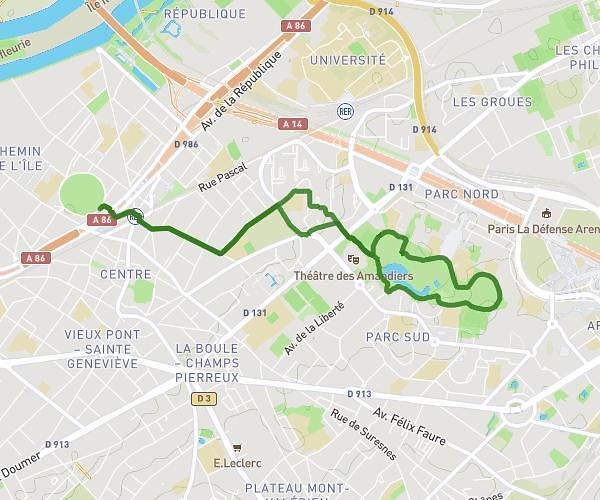
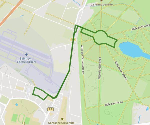
This running route covers 4.988mi starting from Conflans-Sainte-Honorine, Yvelines. The run is a loop trail and returns to the trailhead. This run is rated as moderate, expect about 54m to complete it. The route has an elevation gain of 262ft and an elevation loss of 266ft.
8km - quai herblay
Route details
5.54mph
Speed
617 kcal
Calories burned
Loop trail
Route type
66ft
Min altitude
187ft
Max altitude
Route profile
262ft
Elevation gain
266ft
Elevation loss
66ft
Min altitude
187ft
Max altitude
How to get there
Trailhead: 8 Rue Édouard Branly, 78700 Conflans-Sainte-Honorine, France
GPS coordinates of the trailhead: 48.99591, 2.112823 / 48°59'45'' N, 2°6'46'' E