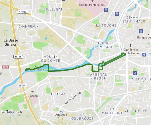
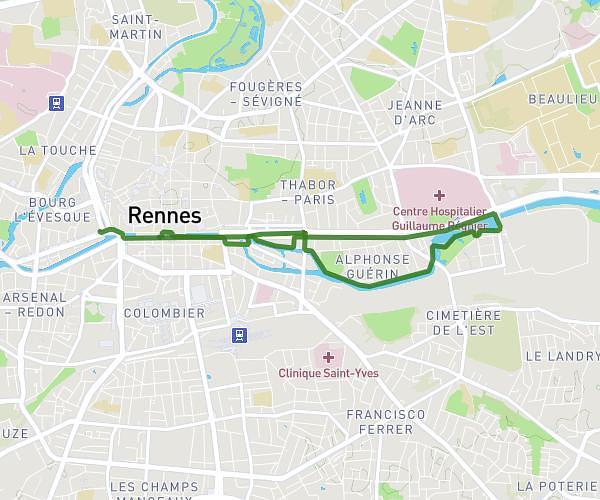
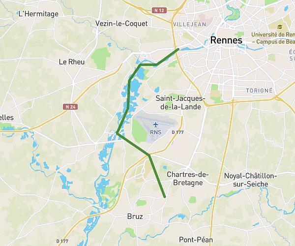
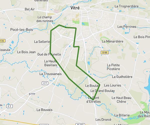
This running route covers 10.808mi starting from Liffré, Ille-et-Vilaine. The run does not return to the trailhead and ends near 3 Rue De Châteaugiron, 35000 Rennes, France. This run is rated as hard, expect about 1h34m to complete it. The route has an elevation gain of 272ft and an elevation loss of 489ft.
Mi foret école
Route details
6.84mph
Speed
1085 kcal
Calories burned
Point to point
Route type
79ft
Min altitude
361ft
Max altitude
Route profile
272ft
Elevation gain
489ft
Elevation loss
79ft
Min altitude
361ft
Max altitude
How to get there
Trailhead: Route Forestière De Culon, 35340 Liffré, France
GPS coordinates of the trailhead: 48.18877, -1.52423 / 48°11'19'' N, 1°31'27'' W