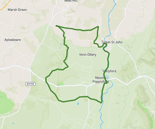
This walking route covers 6.567mi starting from Newton Abbot, England. The walk is a loop trail and returns to the trailhead. This walk is rated as hard, plan for about 4h10m to complete it. The route has an elevation gain of 928ft and an elevation loss of 928ft.
Lemmy Boy
Route details
38:01/mi
Pace
1021 kcal
Calories burned
Loop trail
Route type
33ft
Min altitude
226ft
Max altitude
Route profile
928ft
Elevation gain
928ft
Elevation loss
33ft
Min altitude
226ft
Max altitude
How to get there
Trailhead: Kingskerswell Road, TQ12 1DQ Newton Abbot
GPS coordinates of the trailhead: 50.51928, -3.59792 / 50°31'9'' N, 3°35'52'' W