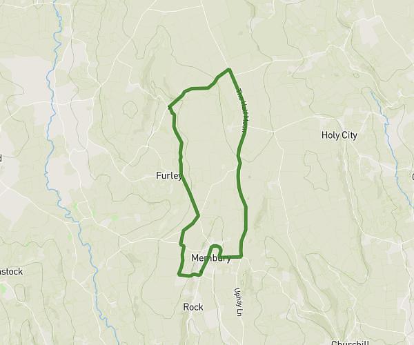
This walking route covers 10.197mi starting from Ottery St. Mary, England. The walk is a loop trail and returns to the trailhead. This walk is rated as strenuous, plan for about 3h39m to complete it. The route has an elevation gain of 958ft and an elevation loss of 958ft.
Walk 2
Route details
21:27/mi
Pace
894 kcal
Calories burned
Loop trail
Route type
69ft
Min altitude
512ft
Max altitude
Route profile
958ft
Elevation gain
958ft
Elevation loss
69ft
Min altitude
512ft
Max altitude
How to get there
Trailhead: Aylesbeare, West Hill, Ottery St. Mary, EX11 1SQ, United Kingdom
GPS coordinates of the trailhead: 50.727128, -3.329383 / 50°43'37'' N, 3°19'45'' W