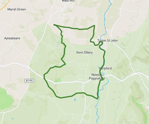
This walking route covers 2.465mi starting from Cullompton, England. The walk is a loop trail and returns to the trailhead. This walk is rated as easy, plan for about 53m to complete it. The route has an elevation gain of 92ft and an elevation loss of 95ft.
CCA field and river walk
Route details
21:30/mi
Pace
216 kcal
Calories burned
Loop trail
Route type
161ft
Min altitude
220ft
Max altitude
Route profile
92ft
Elevation gain
95ft
Elevation loss
161ft
Min altitude
220ft
Max altitude
How to get there
Trailhead: 58 Higher Street, Cullompton, EX15 1AJ, United Kingdom
GPS coordinates of the trailhead: 50.86026, -3.39225 / 50°51'36'' N, 3°23'32'' W