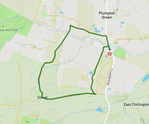
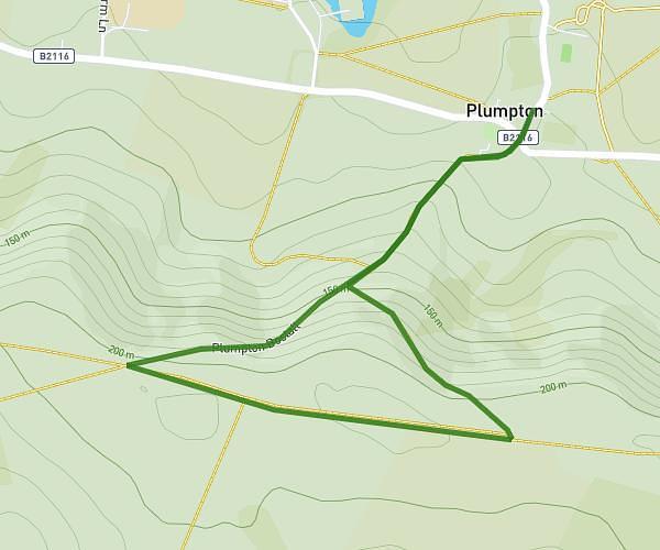
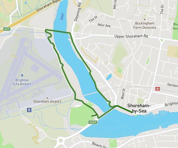
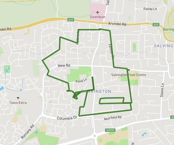
This walking route covers 3.567mi starting from Worthing, England. The walk is a loop trail and returns to the trailhead. This walk is rated as moderate, plan for about 1h5m to complete it. The route has an elevation gain of 161ft and an elevation loss of 161ft.
Dog walk Sunday
Route details
18:13/mi
Pace
265 kcal
Calories burned
Loop trail
Route type
33ft
Min altitude
115ft
Max altitude
Route profile
161ft
Elevation gain
161ft
Elevation loss
33ft
Min altitude
115ft
Max altitude
How to get there
Trailhead: Cradock Place, BN13 2QA Worthing
GPS coordinates of the trailhead: 50.84004, -0.41038 / 50°50'24'' N, 0°24'37'' W