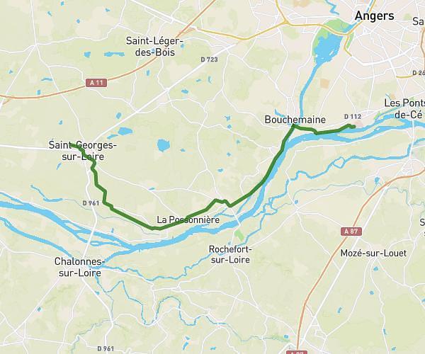
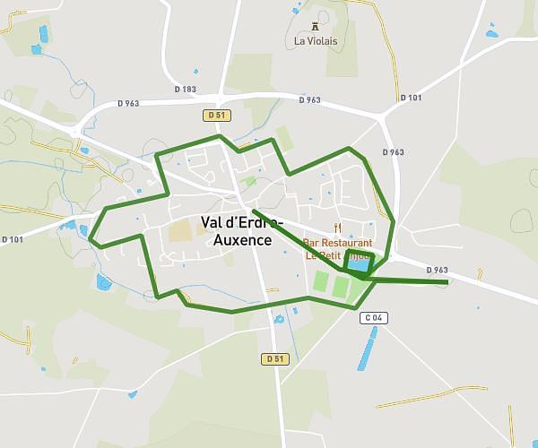
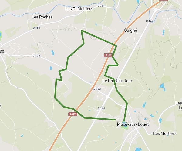
This running route covers 8.932mi starting from Angers, Maine-et-Loire. The run is a loop trail and returns to the trailhead. This run is rated as hard, expect about 1h26m to complete it. The route has an elevation gain of 374ft and an elevation loss of 374ft.
15kms-sco
Route details
6.21mph
Speed
986 kcal
Calories burned
Loop trail
Route type
43ft
Min altitude
171ft
Max altitude
Route profile
374ft
Elevation gain
374ft
Elevation loss
43ft
Min altitude
171ft
Max altitude
How to get there
Trailhead: 1 Rue Du Colombier, 49000 Angers, France
GPS coordinates of the trailhead: 47.45958, -0.52938 / 47°27'34'' N, 0°31'45'' W