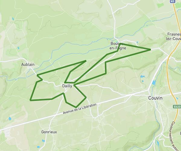
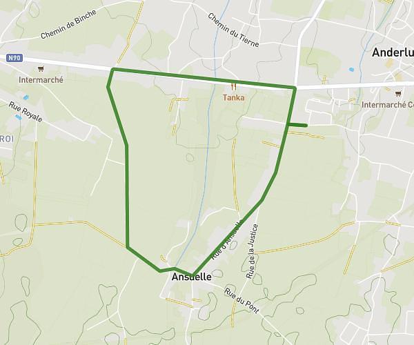
This running route covers 6.984mi starting from Walcourt, Namur. The run is a loop trail and returns to the trailhead. This run is rated as moderate, expect about 1h14m to complete it. The route has an elevation gain of 650ft and an elevation loss of 650ft.
Triangle retour Yves-Gomezée
Route details
5.66mph
Speed
846 kcal
Calories burned
Loop trail
Route type
630ft
Min altitude
860ft
Max altitude
Route profile
650ft
Elevation gain
650ft
Elevation loss
630ft
Min altitude
860ft
Max altitude
How to get there
Trailhead: Rue Des Pinsons 11, 5650 Walcourt, Namur, Belgium
GPS coordinates of the trailhead: 50.25204, 4.48471 / 50°15'7'' N, 4°29'4'' E