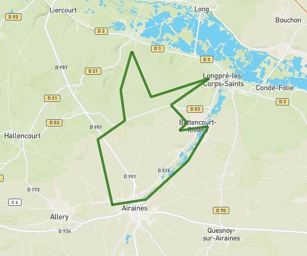
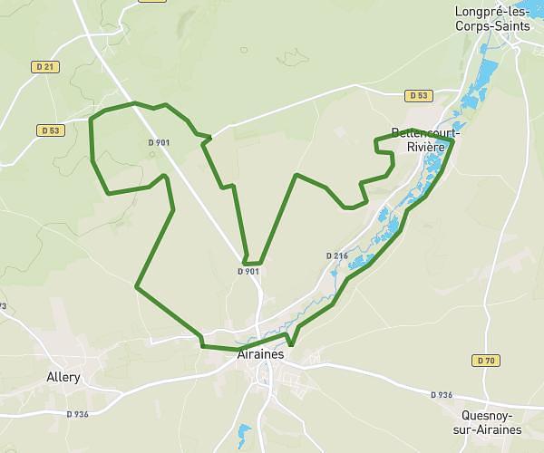
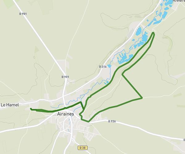
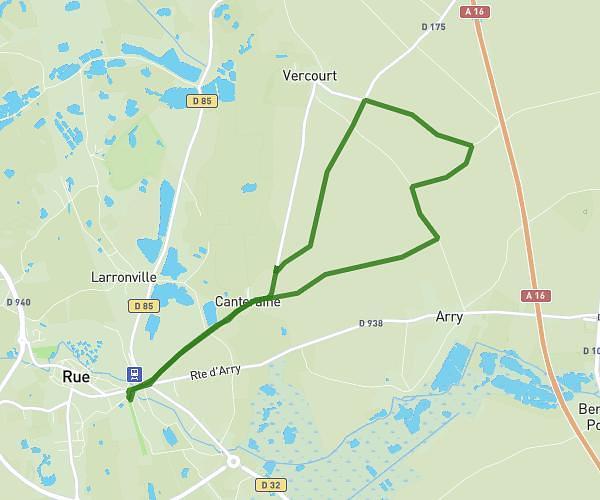
This running route covers 5.169mi starting from Pont-de-Metz, Somme. The run is a loop trail and returns to the trailhead. This run is rated as moderate, expect about 45m22s to complete it. The route has an elevation gain of 256ft and an elevation loss of 256ft.
Parcours orange 8 PDM
Route details
6.84mph
Speed
519 kcal
Calories burned
Loop trail
Route type
72ft
Min altitude
203ft
Max altitude
Route profile
256ft
Elevation gain
256ft
Elevation loss
72ft
Min altitude
203ft
Max altitude
How to get there
Trailhead: 23 Allée Des Moineaux, 80480 Pont-de-Metz, France
GPS coordinates of the trailhead: 49.88363, 2.24139 / 49°53'1'' N, 2°14'29'' E