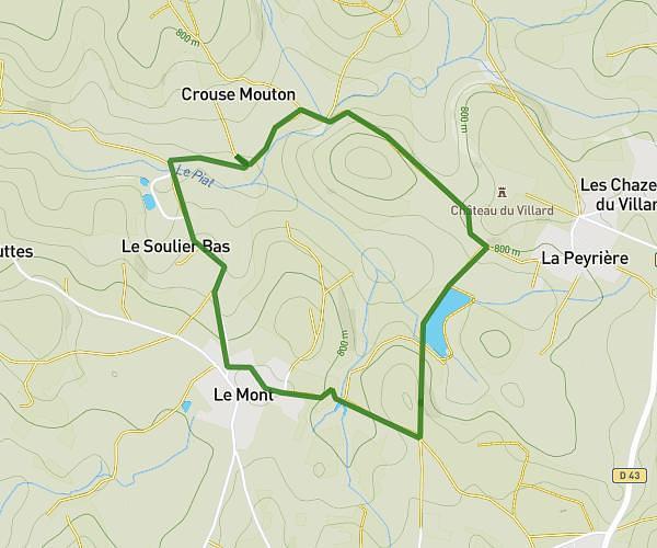
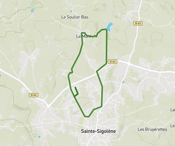
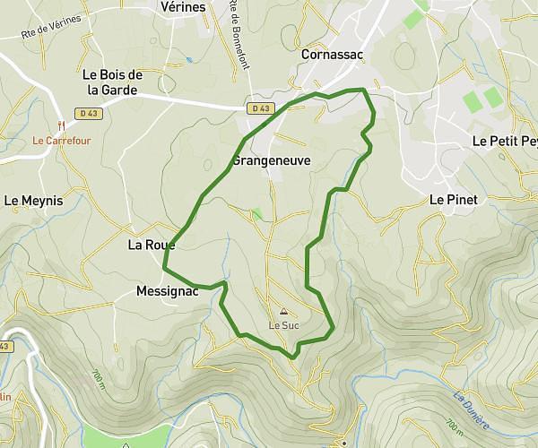
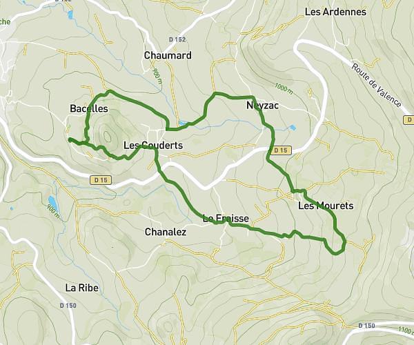
This walking route covers 3.529mi starting from Lapte, Haute-Loire. The walk is a loop trail and returns to the trailhead. This walk is rated as moderate, plan for about 1h16m to complete it. The route has an elevation gain of 915ft and an elevation loss of 915ft.
Les gâtres
Route details
21:33/mi
Pace
310 kcal
Calories burned
Loop trail
Route type
1978ft
Min altitude
2664ft
Max altitude
Route profile
915ft
Elevation gain
915ft
Elevation loss
1978ft
Min altitude
2664ft
Max altitude
How to get there
Trailhead: 42 Chemin Des Gatres, 43200 Lapte, France
GPS coordinates of the trailhead: 45.20498, 4.23695 / 45°12'17'' N, 4°14'13'' E