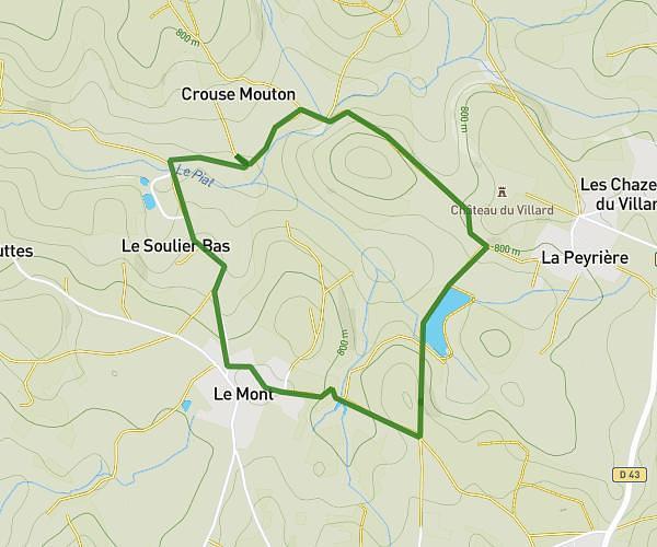
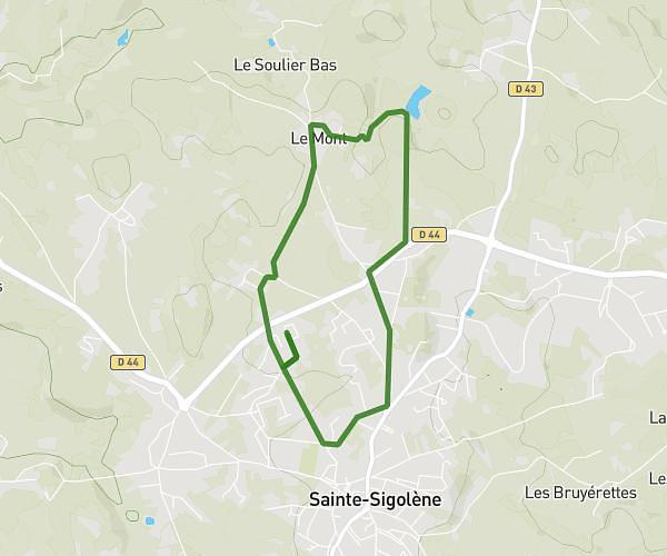
This walking route covers 4.431mi starting from Saint-Julien-Chapteuil, Haute-Loire. The walk is a loop trail and returns to the trailhead. This walk is rated as moderate, plan for about 1h35m to complete it. The route has an elevation gain of 974ft and an elevation loss of 974ft.
Le Fraisse - Les Mourets
Route details
21:27/mi
Pace
388 kcal
Calories burned
Loop trail
Route type
2976ft
Min altitude
3540ft
Max altitude
Route profile
974ft
Elevation gain
974ft
Elevation loss
2976ft
Min altitude
3540ft
Max altitude
How to get there
Trailhead: 922 Rampe Pons De Chapteuil, 43260 Saint-Julien-Chapteuil, France
GPS coordinates of the trailhead: 45.02893, 4.0731 / 45°1'44'' N, 4°4'23'' E