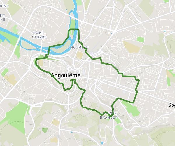
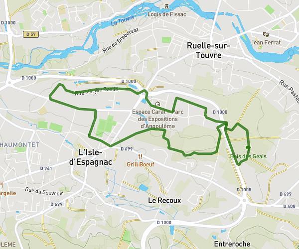
This running route covers 8.474mi starting from Linars, Charente. The run is a loop trail and returns to the trailhead. This run is rated as hard, expect about 1h35m to complete it. The route has an elevation gain of 348ft and an elevation loss of 348ft.
Linars nersac
Route details
5.35mph
Speed
1086 kcal
Calories burned
Loop trail
Route type
79ft
Min altitude
207ft
Max altitude
Route profile
348ft
Elevation gain
348ft
Elevation loss
79ft
Min altitude
207ft
Max altitude
How to get there
Trailhead: Rue Jean Monnet, 16730 Linars
GPS coordinates of the trailhead: 45.65963, 0.07878 / 45°39'34'' N, 0°4'43'' E