MapPlanner
6.812mi
Distance
1h20m
Duration
11:45/mi
Pace
Moderate
Level

Gardette - Mt Perreal

Route details

5.11mph
Speed
915 kcal
Calories burned
Loop trail
Route type
702ft
Min altitude
1542ft
Max altitude

This running route covers 6.812mi starting from Gargas, Vaucluse. The run is a loop trail and returns to the trailhead. This run is rated as moderate, expect about 1h20m to complete it. The route has an elevation gain of 1106ft and an elevation loss of 1102ft.

Description of the route by the creator

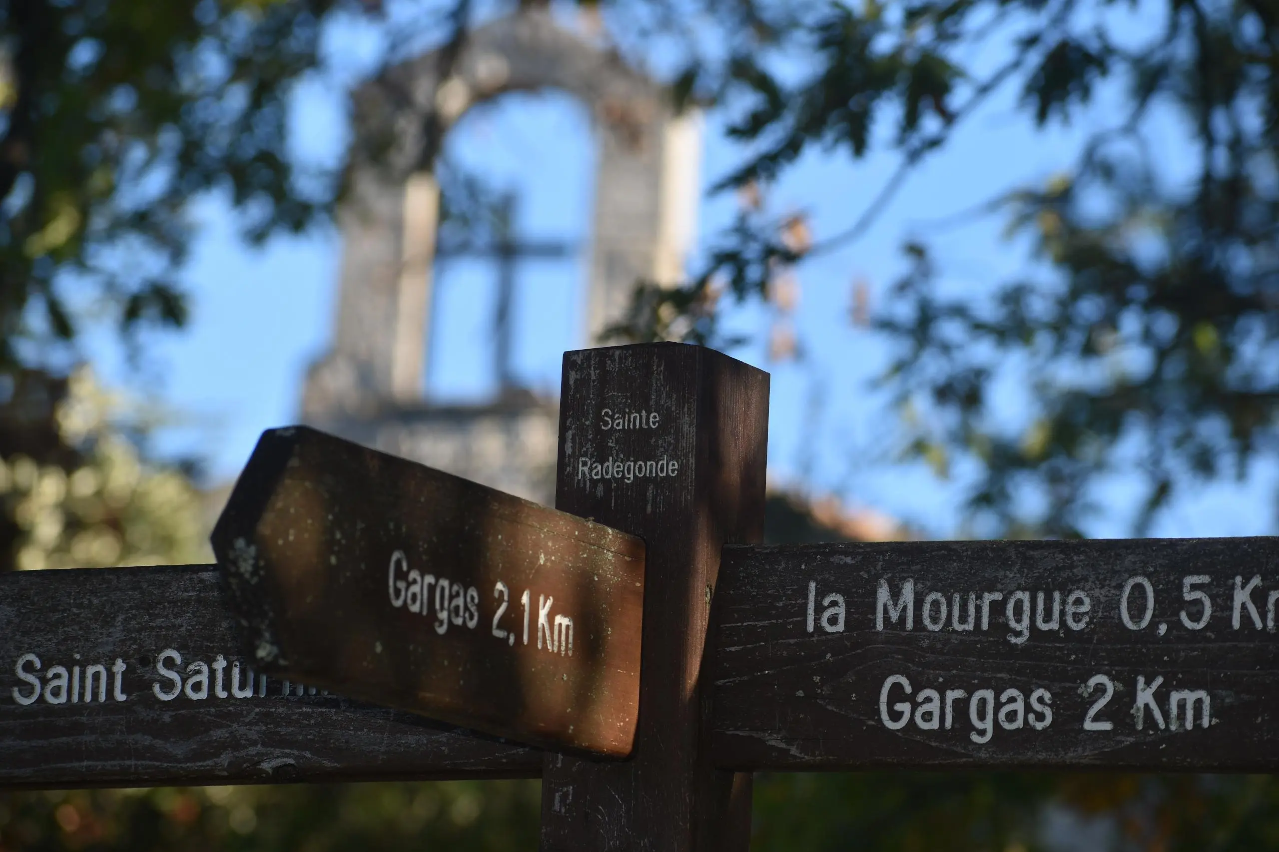
Mt Perreal is a mountain with beautiful views of Gordes, Roussillon, Saint-Saturin lès Apt, Apt and its lake. No drinking water (public toilets in Gargas closed due to deterioration), protected biotope bordering hunting areas, beautiful ochre site nearby.

(Description automatically translated)

Route profile

1106ft
Elevation gain
1102ft
Elevation loss
702ft
Min altitude
1542ft
Max altitude

How to get there

Trailhead: 78 Rue Des Griottes, 84400 Gargas, France

GPS coordinates of the trailhead: 43.88777, 5.34017 / 43°53'15'' N, 5°20'24'' E

Caution: May Cross Private Property

This route may pass through or near private property. Always respect posted signs, obtain permission where required, and follow local trespassing laws. MapPlanner does not guarantee public access along any route.

Safety Notice

Trail and road conditions may change without notice due to weather, construction, or other factors. Always verify current conditions before heading out. You are responsible for your own safety — follow local signage, obey traffic laws, and use your best judgment on the trail.