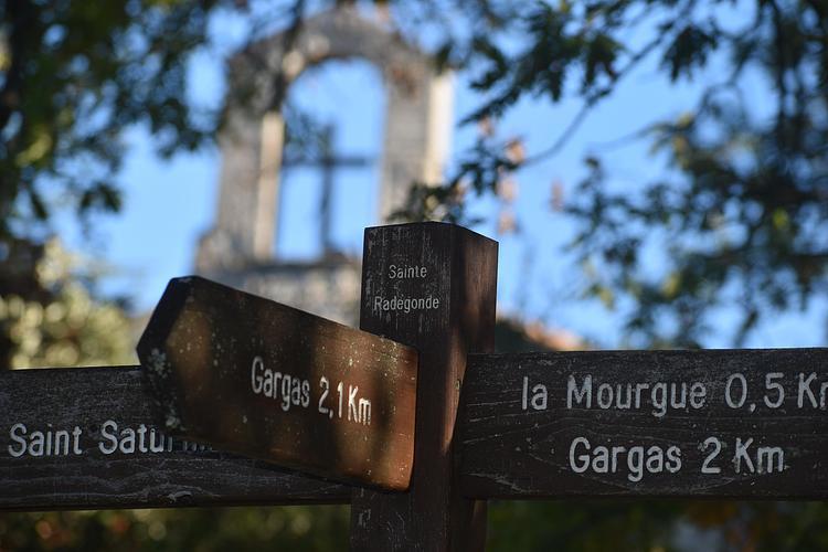
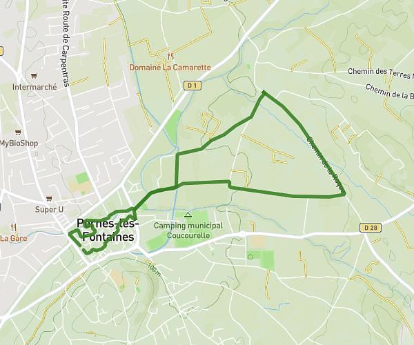
Explore this running route of 6,212mi starting from Gargas, Vaucluse. The run does not return to the starting point and ends near 59 Chemin De La Bruyère, 84490 Saint-Saturnin-lès-Apt, France. This run is rated as intermediate, expect about 2h to complete it.
Description of the route by the creator
Gardette, pleasant wood, ochre path and stones (GR) Mt Pereal, not inconsiderable difference in altitude by direct route - slippery marl and holes, option of a longer, less steep route, then vineyard, end by road in downtown Saint-Saturnin
