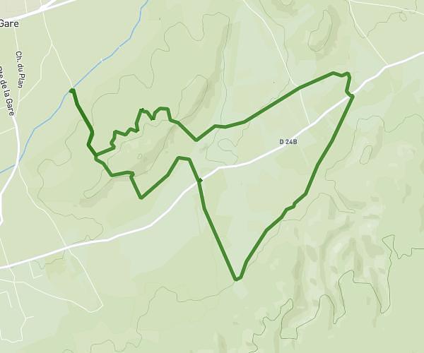
This running route covers 3.836mi starting from Pernes-les-Fontaines, Vaucluse. The run is a loop trail and returns to the trailhead. This run is rated as easy, expect about 41m to complete it. The route has an elevation gain of 213ft and an elevation loss of 220ft.
Pernes
Route details
5.62mph
Speed
469 kcal
Calories burned
Loop trail
Route type
262ft
Min altitude
394ft
Max altitude
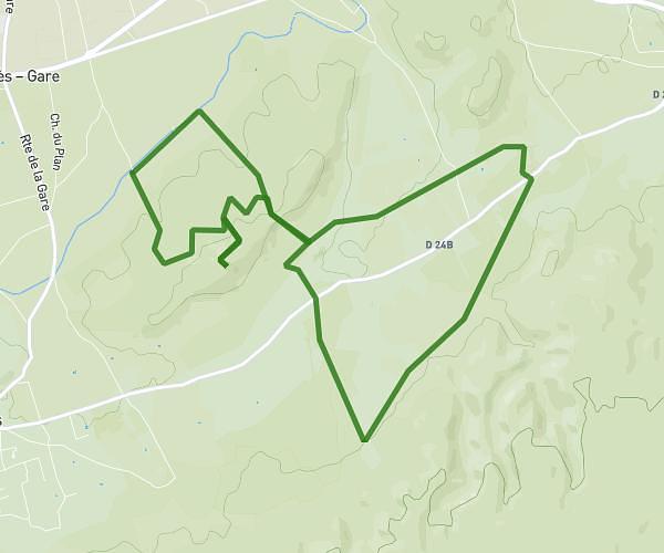
Route profile
213ft
Elevation gain
220ft
Elevation loss
262ft
Min altitude
394ft
Max altitude
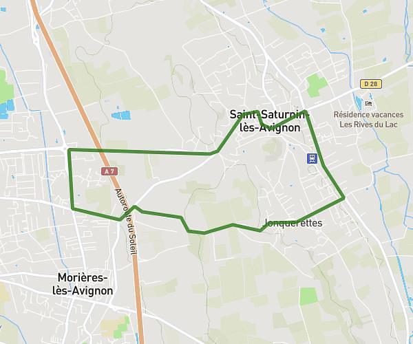
How to get there
Trailhead: 155 Rue Émile Zola, 84210 Pernes-les-Fontaines, France
GPS coordinates of the trailhead: 43.99704, 5.05685 / 43°59'49'' N, 5°3'24'' E