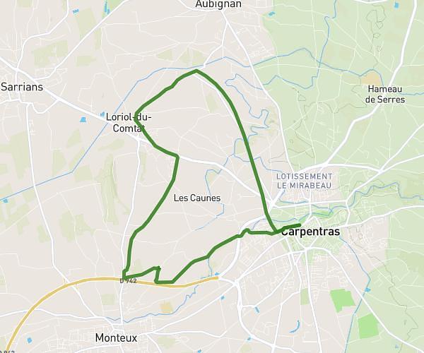
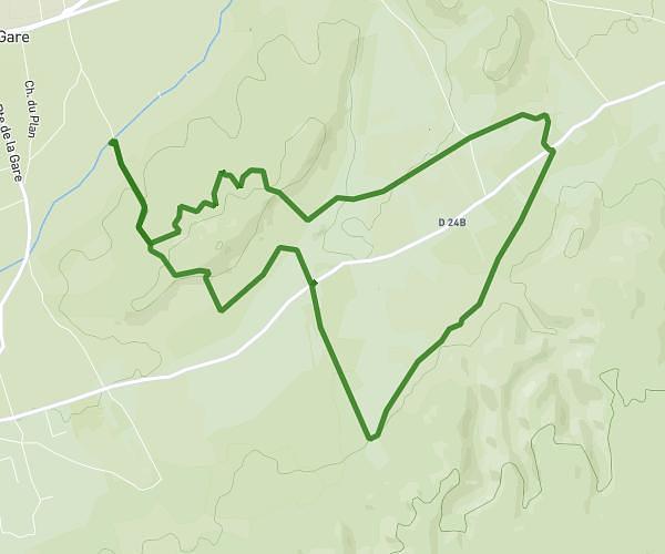
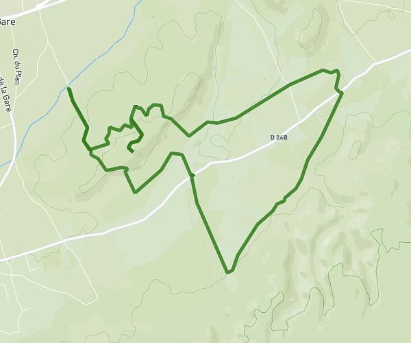
This running route covers 4.977mi starting from Saint-Saturnin-lès-Avignon, Vaucluse. The run is a loop trail and returns to the trailhead. This run is rated as moderate, expect about 44m3s to complete it. The route has an elevation gain of 502ft and an elevation loss of 502ft.
8km 150m D+ St Saturnin les avignon
Route details
6.78mph
Speed
504 kcal
Calories burned
Loop trail
Route type
115ft
Min altitude
377ft
Max altitude
Route profile
502ft
Elevation gain
502ft
Elevation loss
115ft
Min altitude
377ft
Max altitude
How to get there
Trailhead: 270 Boulevard De La Libération, 84450 Saint-Saturnin-lès-Avignon, France
GPS coordinates of the trailhead: 43.956625, 4.928304 / 43°57'23'' N, 4°55'41'' E