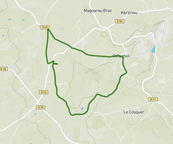
This running route covers 12.828mi starting from Rostrenen, Côtes-d'Armor. The run is a loop trail and returns to the trailhead. This run is rated as strenuous, expect about 1h22m to complete it. The route has an elevation gain of 587ft and an elevation loss of 587ft.
boucle 20 km
Route details
9.32mph
Speed
944 kcal
Calories burned
Loop trail
Route type
545ft
Min altitude
781ft
Max altitude
Route profile
587ft
Elevation gain
587ft
Elevation loss
545ft
Min altitude
781ft
Max altitude
How to get there
Trailhead: Route De Kenroperzh, 22110 Rostrenen
GPS coordinates of the trailhead: 48.24894, -3.33538 / 48°14'56'' N, 3°20'7'' W