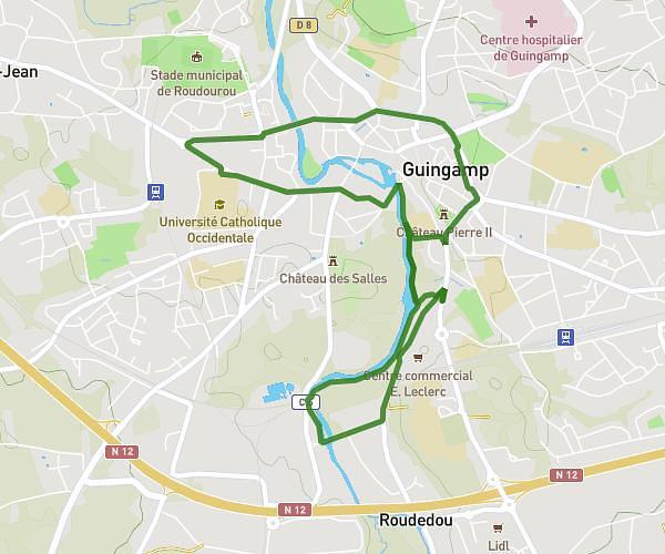
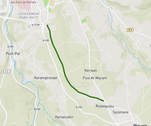
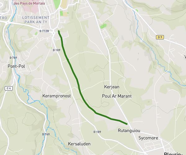
This running route covers 4.36mi starting from Calanhel, Côtes-d'Armor. The run is a loop trail and returns to the trailhead. This run is rated as easy, expect about 53m to complete it. The route has an elevation gain of 358ft and an elevation loss of 358ft.
Bas Calanhel
Route details
4.93mph
Speed
606 kcal
Calories burned
Loop trail
Route type
653ft
Min altitude
915ft
Max altitude
Route profile
358ft
Elevation gain
358ft
Elevation loss
653ft
Min altitude
915ft
Max altitude
How to get there
Trailhead: Guerzouil, 22160 Calanhel
GPS coordinates of the trailhead: 48.43496, -3.50171 / 48°26'5'' N, 3°30'6'' W