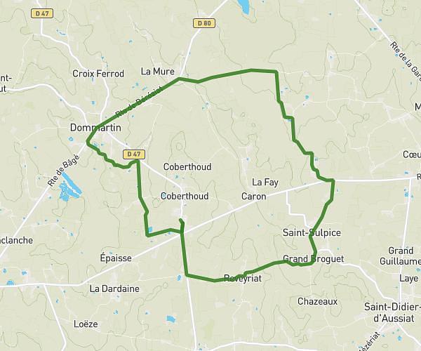
This running route covers 5.089mi starting from Laizé, Saône-et-Loire. The run does not return to the trailhead and ends near 9 Allée Du Parc, 71000 Sancé, France. This run is rated as moderate, expect about 54m36s to complete it. The route has an elevation gain of 308ft and an elevation loss of 600ft.
blany sancé
Route details
5.59mph
Speed
624 kcal
Calories burned
Point to point
Route type
633ft
Min altitude
981ft
Max altitude
Route profile
308ft
Elevation gain
600ft
Elevation loss
633ft
Min altitude
981ft
Max altitude
How to get there
Trailhead: 408 Rue De Fayolle, 71870 Laizé, France
GPS coordinates of the trailhead: 46.36986, 4.79874 / 46°22'11'' N, 4°47'55'' E