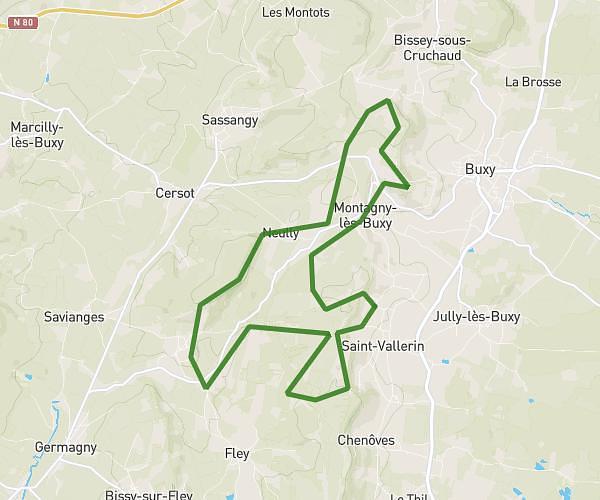
This running route covers 5.331mi starting from Tournus, Saône-et-Loire. The run does not return to the trailhead and ends near 6 Quai De Saône, 71700 Tournus, France. This run is rated as moderate, expect about 57m12s to complete it. The route has an elevation gain of 269ft and an elevation loss of 289ft.
Tournus lacrost préty
Route details
5.59mph
Speed
654 kcal
Calories burned
Point to point
Route type
528ft
Min altitude
676ft
Max altitude
Route profile
269ft
Elevation gain
289ft
Elevation loss
528ft
Min altitude
676ft
Max altitude
How to get there
Trailhead: 24 Quai Du Midi, 71700 Tournus, France
GPS coordinates of the trailhead: 46.561444, 4.914092 / 46°33'41'' N, 4°54'50'' E