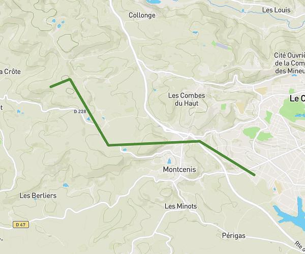
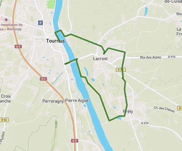
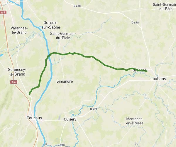
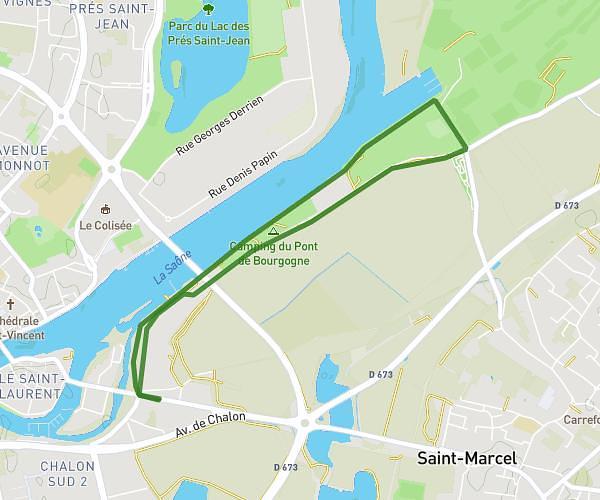
This running route covers 13.282mi starting from Saint-Vallerin, Saône-et-Loire. The run is a loop trail and returns to the trailhead. This run is rated as strenuous, expect about 2h23m to complete it. The route has an elevation gain of 2001ft and an elevation loss of 2001ft.
Badaboom
Route details
5.57mph
Speed
1635 kcal
Calories burned
Loop trail
Route type
915ft
Min altitude
1411ft
Max altitude
Route profile
2001ft
Elevation gain
2001ft
Elevation loss
915ft
Min altitude
1411ft
Max altitude
How to get there
Trailhead: 37 Montée De Collonge, 71390 Saint-Vallerin, France
GPS coordinates of the trailhead: 46.69229, 4.67154 / 46°41'32'' N, 4°40'17'' E