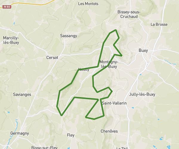
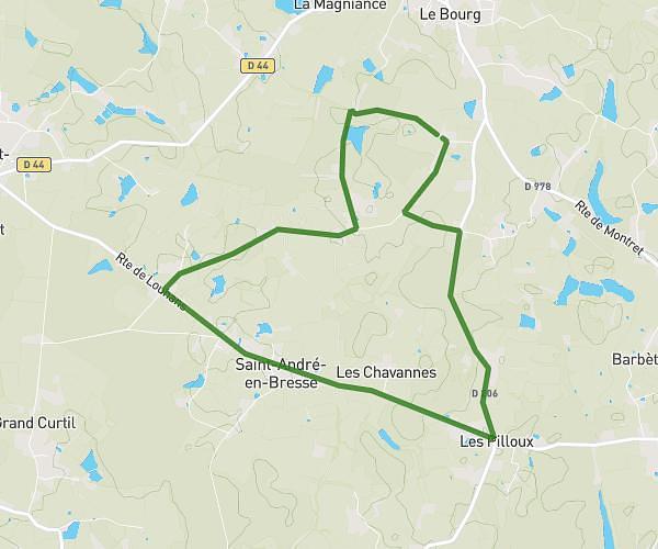
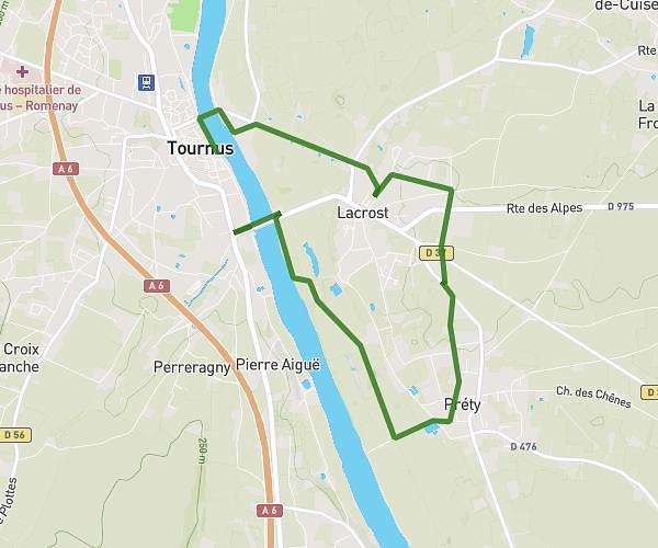
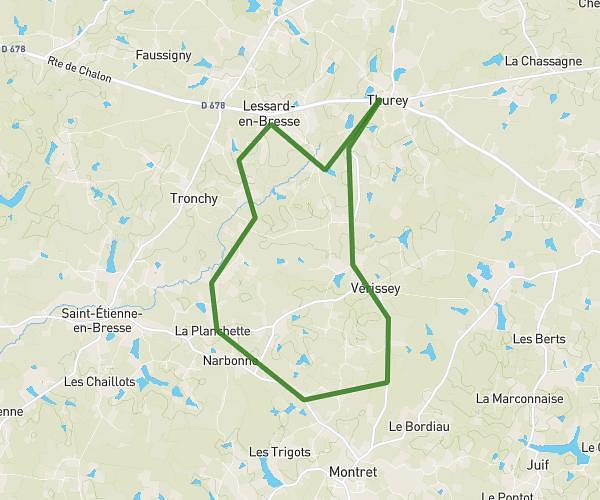
This running route covers 18.554mi starting from Boyer, Saône-et-Loire. The run does not return to the trailhead and ends near 430 Route Des Pies, 71500 Branges, France. This run is rated as strenuous, expect about 3h19m to complete it. The route has an elevation gain of 512ft and an elevation loss of 531ft.
Noel
Route details
5.59mph
Speed
2275 kcal
Calories burned
Point to point
Route type
561ft
Min altitude
679ft
Max altitude
Route profile
512ft
Elevation gain
531ft
Elevation loss
561ft
Min altitude
679ft
Max altitude
How to get there
Trailhead: 202 Cours Du Pont, 71700 Boyer, France
GPS coordinates of the trailhead: 46.602528, 4.900604 / 46°36'9'' N, 4°54'2'' E