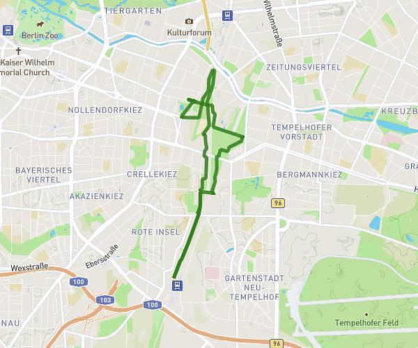
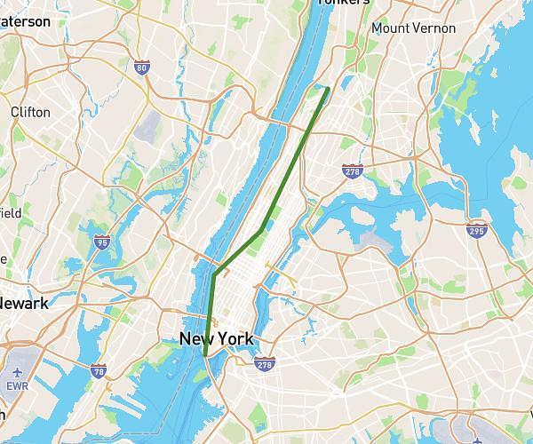
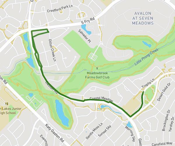
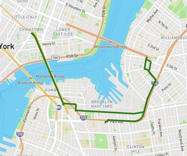
This running route covers 3.003mi starting from . The run does not return to the trailhead and ends near . This run is rated as easy, expect about 32m to complete it. The route has an elevation gain of 161ft and an elevation loss of 161ft.
Mariendorf
Route details
5.63mph
Speed
366 kcal
Calories burned
Point to point
Route type
138ft
Min altitude
180ft
Max altitude
Route profile
161ft
Elevation gain
161ft
Elevation loss
138ft
Min altitude
180ft
Max altitude
How to get there
Trailhead:
GPS coordinates of the trailhead: 52.450272, 13.384237 / 52°27'0'' N, 13°23'3'' E