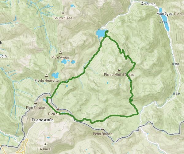
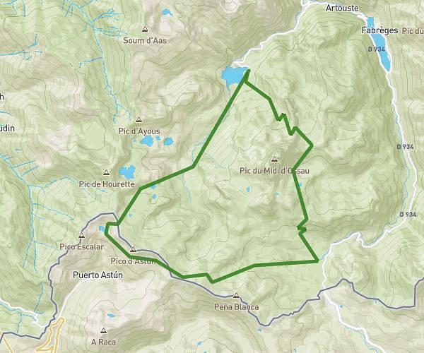
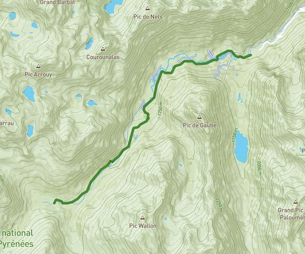
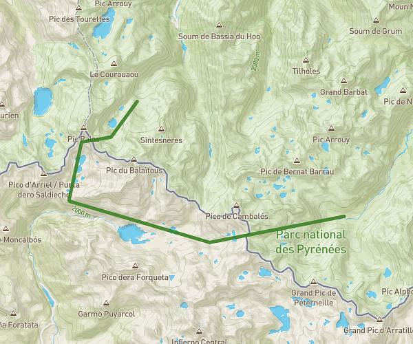
This hiking trail covers 10.14mi starting from Canfranc, Huesca. The hike does not return to the trailhead and ends near Calle Albareda 7j, 22888 Canfranc, Huesca, Spain. This hike is rated as strenuous, plan for about 3h45m to complete it. The route has an elevation gain of 3471ft and an elevation loss of 4009ft.
Canfranc Carrera
Route details
2.7mph
Speed
1745 kcal
Calories burned
14.0%
Avg grade
Point to point
Route type
3422ft
Min altitude
7116ft
Max altitude
Steep climb
Route profile
3471ft
Elevation gain
4009ft
Elevation loss
3422ft
Min altitude
7116ft
Max altitude
How to get there
Trailhead: Avenida De Fernando El Católico 3, 22880 Canfranc, Huesca, Spain
GPS coordinates of the trailhead: 42.750633, -0.515781 / 42°45'2'' N, 0°30'56'' W