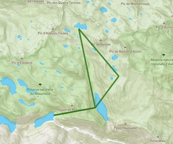
This hiking trail covers 4.874mi starting from Cauterets, Hautes-Pyrénées. The hike does not return to the trailhead and ends near Route Du Pont D'espagne, 65110 Cauterets, France. This hike is rated as hard, plan for about 3h55m to complete it. The route has an elevation gain of 581ft and an elevation loss of 1831ft.
Circuit des lacs - Etape 2
Route details
1.24mph
Speed
1709 kcal
Calories burned
9.4%
Avg grade
Point to point
Route type
4846ft
Min altitude
6115ft
Max altitude
Steep climb
Route profile
581ft
Elevation gain
1831ft
Elevation loss
4846ft
Min altitude
6115ft
Max altitude
How to get there
Trailhead: 65110, Cauterets, Hautes-Pyrénées, France
GPS coordinates of the trailhead: 42.819121, -0.195738 / 42°49'8'' N, 0°11'44'' W