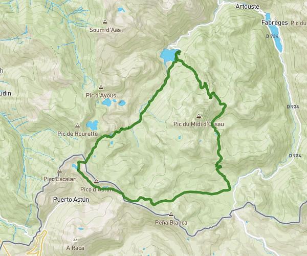
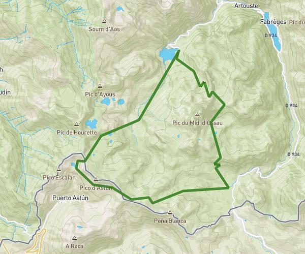
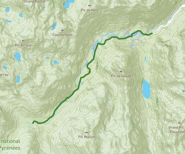
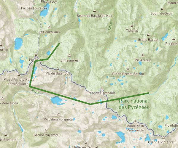
This hiking trail covers 9.559mi starting from Canfranc, Huesca. The hike does not return to the trailhead and ends near Carretera De Alicante A Francia Por Zaragoza, 22870 Canfranc, Huesca, Spain. This hike is rated as strenuous, plan for about 5h11m to complete it. The route has an elevation gain of 3064ft and an elevation loss of 3862ft.
Paso del sarrio
Route details
1.85mph
Speed
2397 kcal
Calories burned
13.7%
Avg grade
Point to point
Route type
3399ft
Min altitude
7034ft
Max altitude
Steep climb
Route profile
3064ft
Elevation gain
3862ft
Elevation loss
3399ft
Min altitude
7034ft
Max altitude
How to get there
Trailhead: Túnel De Somport, 22880 Canfranc, Huesca, Spain
GPS coordinates of the trailhead: 42.74961, -0.51833 / 42°44'58'' N, 0°31'5'' W