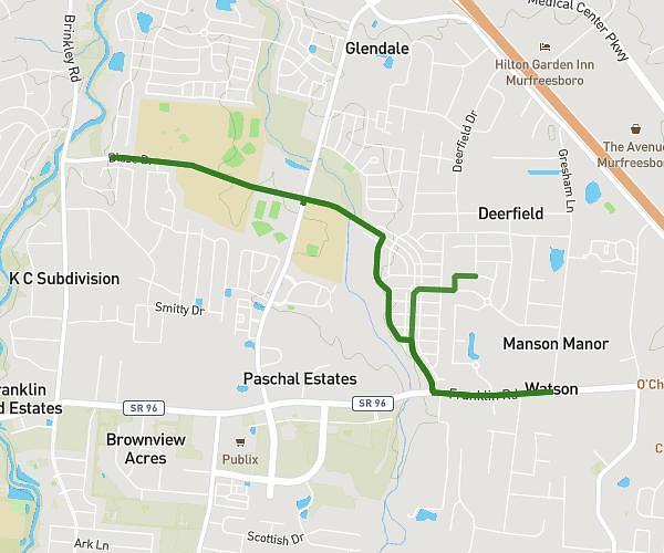
This walking route covers 3.237mi starting from Murfreesboro, Tennessee. The walk does not return to the trailhead and ends near 1712 Blackman Road, Murfreesboro, Tennessee 37128, United States. This walk is rated as moderate, plan for about 1h9m to complete it. The route has an elevation gain of 10ft and an elevation loss of 26ft.
6-ish Miles
Route details
21:19/mi
Pace
282 kcal
Calories burned
Point to point
Route type
591ft
Min altitude
607ft
Max altitude
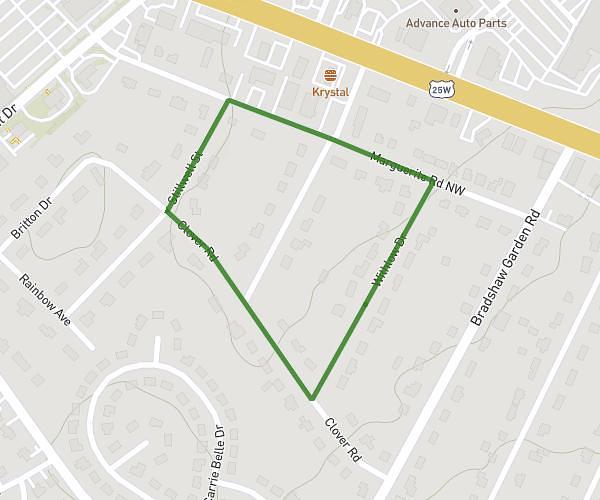
Route profile
10ft
Elevation gain
26ft
Elevation loss
591ft
Min altitude
607ft
Max altitude
How to get there
Trailhead: 3224 Milkweed Drive, Murfreesboro, Tennessee 37128, United States
GPS coordinates of the trailhead: 35.85137, -86.45566 / 35°51'4'' N, 86°27'20'' W