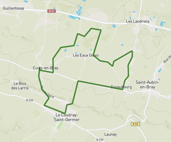
This running route covers 3.469mi starting from Beauvais, Oise. The run does not return to the trailhead and ends near 4 Place Georges Clémenceau, 60000 Beauvais, France. This run is rated as easy, expect about 37m to complete it. The route has an elevation gain of 13ft and an elevation loss of 16ft.
Transquar 2025 5km
Route details
5.62mph
Speed
423 kcal
Calories burned
Point to point
Route type
217ft
Min altitude
233ft
Max altitude
Route profile
13ft
Elevation gain
16ft
Elevation loss
217ft
Min altitude
233ft
Max altitude
How to get there
Trailhead: 1 Rue Jean Vast, 60000 Beauvais, France
GPS coordinates of the trailhead: 49.43212, 2.08107 / 49°25'55'' N, 2°4'51'' E