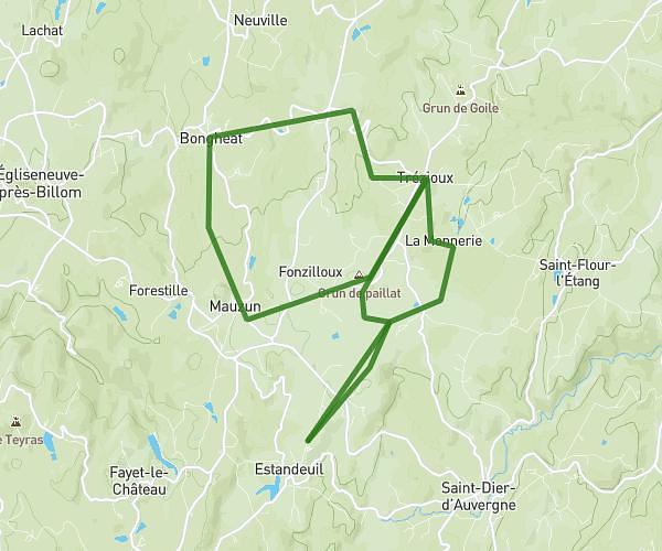
This cycling route covers 32.167mi starting from Saint-Julien-de-Coppel, Puy-de-Dôme. The ride is a loop trail and returns to the trailhead. This route is rated as strenuous, plan for about 3h14m to complete it. The route has an elevation gain of 3146ft and an elevation loss of 3146ft.
St-Julien-de-Coppel / Sermentizon
Route details
1739 kcal
Calories burned
3.7%
Avg grade
Loop trail
Route type
1135ft
Min altitude
2257ft
Max altitude
Route profile
3146ft
Elevation gain
3146ft
Elevation loss
1135ft
Min altitude
2257ft
Max altitude
How to get there
Trailhead: 309 Rue De L'eau Vive, 63160 Saint-Julien-de-Coppel, France
GPS coordinates of the trailhead: 45.691777, 3.330403 / 45°41'30'' N, 3°19'49'' E