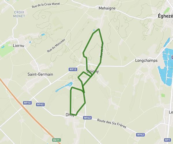
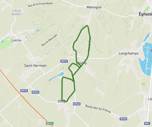
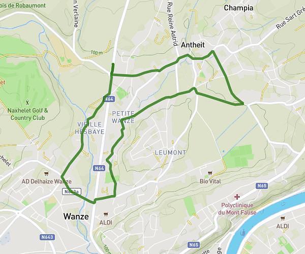
This running route covers 3.117mi starting from Geer, Liege. The run is a loop trail and returns to the trailhead. This run is rated as easy, expect about 45m to complete it. The route has an elevation gain of 144ft and an elevation loss of 144ft.
A travers Ligney
Route details
4.16mph
Speed
515 kcal
Calories burned
Loop trail
Route type
390ft
Min altitude
433ft
Max altitude
Route profile
144ft
Elevation gain
144ft
Elevation loss
390ft
Min altitude
433ft
Max altitude
How to get there
Trailhead: Rue De Hollogne, 4250 Geer
GPS coordinates of the trailhead: 50.6718, 5.19327 / 50°40'18'' N, 5°11'35'' E