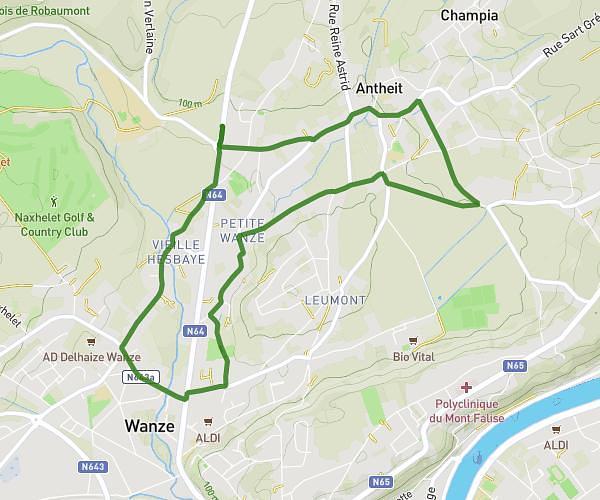
This running route covers 2.979mi starting from Geer, Liege. The run is a loop trail and returns to the trailhead. This run is rated as easy, expect about 45m to complete it. The route has an elevation gain of 16ft and an elevation loss of 23ft.
Hollogne -Omal par la réserve
Route details
3.97mph
Speed
515 kcal
Calories burned
Loop trail
Route type
397ft
Min altitude
417ft
Max altitude
Route profile
16ft
Elevation gain
23ft
Elevation loss
397ft
Min altitude
417ft
Max altitude
How to get there
Trailhead: Rue Des Broucks, 4252 Geer
GPS coordinates of the trailhead: 50.66026, 5.19813 / 50°39'36'' N, 5°11'53'' E