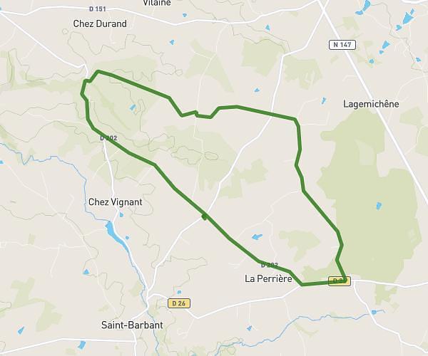
This running route covers 3.326mi starting from Gouex, Vienne. The run is a loop trail and returns to the trailhead. This run is rated as easy, expect about 33m29s to complete it. The route has an elevation gain of 213ft and an elevation loss of 207ft.
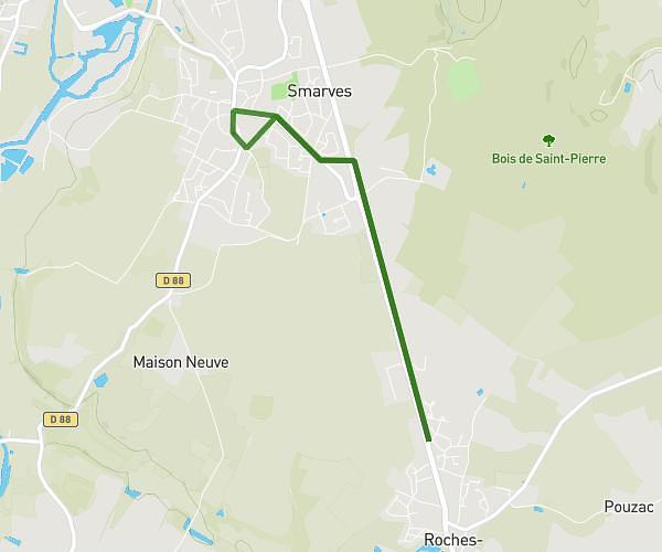
Obj 5km tt Poitiers court
Route details
5.96mph
Speed
383 kcal
Calories burned
Loop trail
Route type
253ft
Min altitude
351ft
Max altitude
Route profile
213ft
Elevation gain
207ft
Elevation loss
253ft
Min altitude
351ft
Max altitude
How to get there
Trailhead: 53 Route De Lussac, 86320 Gouex, France
GPS coordinates of the trailhead: 46.380471, 0.693891 / 46°22'49'' N, 0°41'38'' E