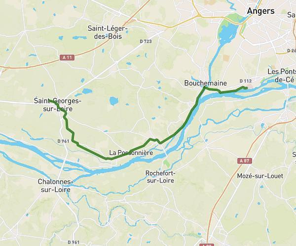
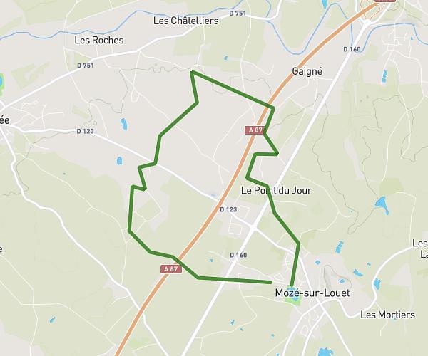
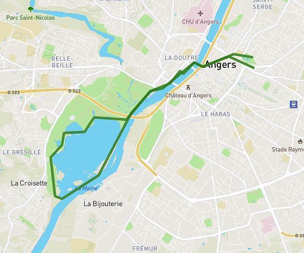
This running route covers 5.686mi starting from Verrières-en-Anjou, Maine-et-Loire. The run is a loop trail and returns to the trailhead. This run is rated as moderate, expect about 1h1m to complete it. The route has an elevation gain of 249ft and an elevation loss of 249ft.
8/01
Route details
5.59mph
Speed
697 kcal
Calories burned
Loop trail
Route type
112ft
Min altitude
177ft
Max altitude
Route profile
249ft
Elevation gain
249ft
Elevation loss
112ft
Min altitude
177ft
Max altitude
How to get there
Trailhead: 6 Square Saint-Sauvin, 49480 Verrières-en-Anjou, France
GPS coordinates of the trailhead: 47.519228, -0.476105 / 47°31'9'' N, 0°28'33'' W