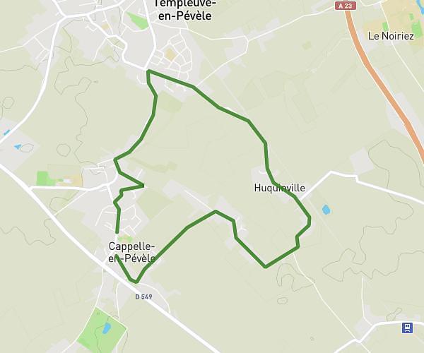
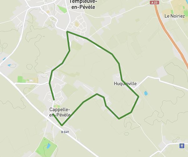
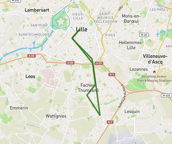
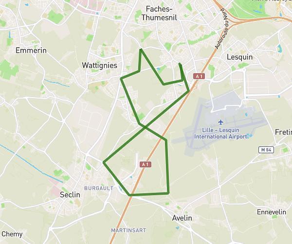
Explore this cycling route of 7,717mi starting from Bois-Bernard, Pas-de-Calais. The ride does not return to the starting point and ends near Route Des Canadiens, 62580 Givenchy-en-Gohelle, France. This route has no defined difficulty level, plan for about 30m to complete it. The route has a positive elevation gain of 295ft and a negative elevation loss of 10ft.
BOIS-BERNARD VIMY
Route details
Route profile
295ft
Elevation +
10ft
Elevation -
190ft
Min altitude
482ft
Max altitude
How to get there
Route starting point: 79 Route D'arras, 62320 Bois-Bernard, France
GPS coordinates of the starting point: 50.3832, 2.90934 / 50°22'59'' N, 2°54'33'' E


