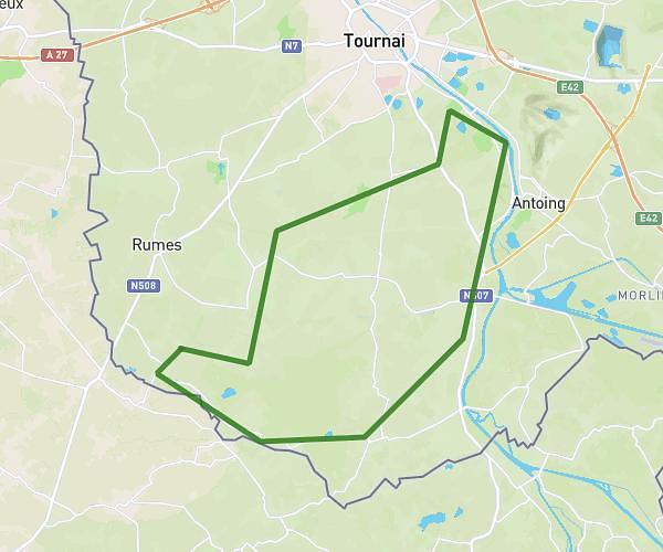
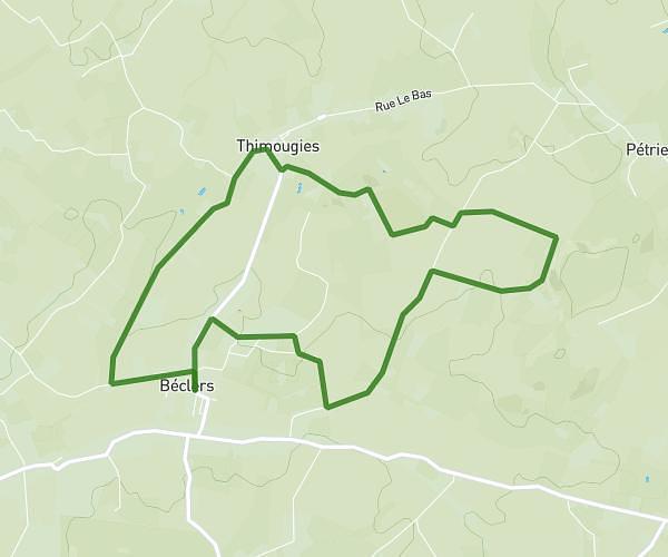
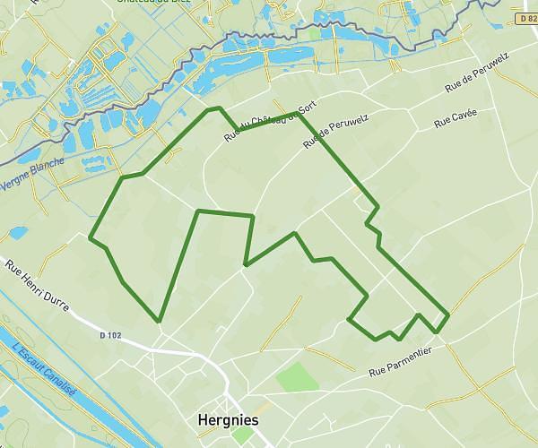
This cycling route covers 4.098mi starting from Cappelle-en-Pévèle, Nord. The ride does not return to the trailhead and ends near Rue De La Ladrerie, 59242 Cappelle-en-Pévèle. This route is rated as easy, plan for about 25m to complete it. The route has an elevation gain of 52ft and an elevation loss of 59ft.
retro cappelle 2
Route details
219 kcal
Calories burned
0.5%
Avg grade
Point to point
Route type
121ft
Min altitude
154ft
Max altitude
Route profile
52ft
Elevation gain
59ft
Elevation loss
121ft
Min altitude
154ft
Max altitude
How to get there
Trailhead: Rue Du Général De Gaulle, 59242 Cappelle-en-Pévèle
GPS coordinates of the trailhead: 50.50952, 3.17149 / 50°30'34'' N, 3°10'17'' E