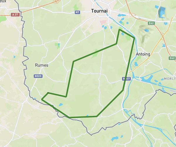
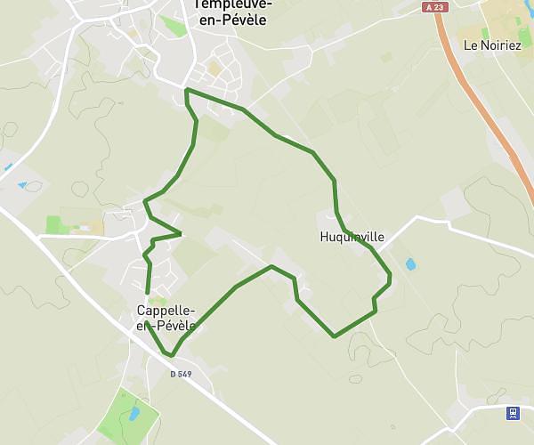
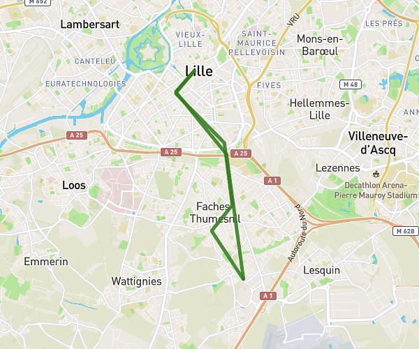
This cycling route covers 103.123mi starting from Lille, Nord. The ride does not return to the trailhead and ends near 471 Avenue François 1er, 62152 Neufchâtel-Hardelot, France. This route is rated as strenuous, plan for about 6h38m to complete it. The route has an elevation gain of 3501ft and an elevation loss of 3497ft.
Lille-Hardelot 2026
Route details
3515 kcal
Calories burned
1.3%
Avg grade
Point to point
Route type
16ft
Min altitude
564ft
Max altitude
Route profile
3501ft
Elevation gain
3497ft
Elevation loss
16ft
Min altitude
564ft
Max altitude
How to get there
Trailhead: 520 Allée Des Marronniers, 59000 Lille, France
GPS coordinates of the trailhead: 50.644507, 3.050205 / 50°38'40'' N, 3°3'0'' E