This hiking trail covers 51.329mi starting from Grandcamp-Maisy, Calvados. The hike does not return to the trailhead and ends near D 514, 14970 Bénouville, France. This hike is rated as strenuous, plan for about 16h31m to complete it. The route has an elevation gain of 1873ft and an elevation loss of 1860ft.
Marche du 6 juin
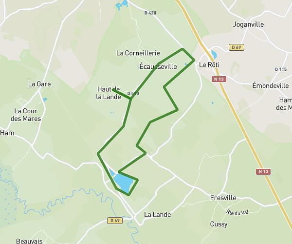
Route details
3.11mph
Speed
7019 kcal
Calories burned
1.4%
Avg grade
Point to point
Route type
0ft
Min altitude
246ft
Max altitude
Route profile
1873ft
Elevation gain
1860ft
Elevation loss
0ft
Min altitude
246ft
Max altitude
How to get there
Trailhead: 4 Quai Crampon, 14450 Grandcamp-Maisy, France
GPS coordinates of the trailhead: 49.389614, -1.047311 / 49°23'22'' N, 1°2'50'' W