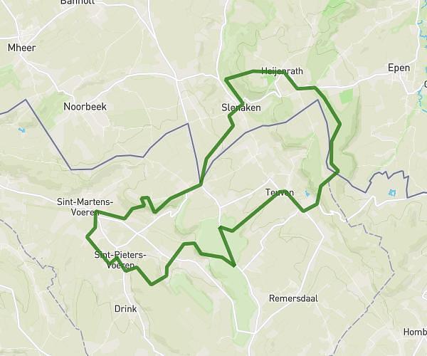
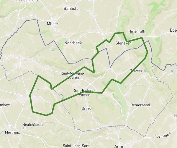
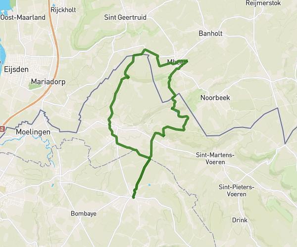
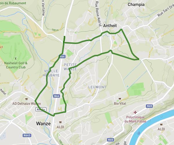
This running route covers 4.773mi starting from Esneux, Liege. The run is a loop trail and returns to the trailhead. This run is rated as easy, expect about 51m to complete it. The route has an elevation gain of 10ft and an elevation loss of 7ft.
Vdd
Route details
5.62mph
Speed
583 kcal
Calories burned
Loop trail
Route type
246ft
Min altitude
256ft
Max altitude
Route profile
10ft
Elevation gain
7ft
Elevation loss
246ft
Min altitude
256ft
Max altitude
How to get there
Trailhead: Quai Des Pêcheurs 17, 4130 Esneux, Liege, Belgium
GPS coordinates of the trailhead: 50.54836, 5.58894 / 50°32'54'' N, 5°35'20'' E