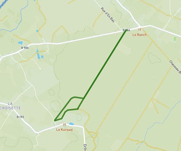
This walking route covers 7.192mi starting from Strazeele, Nord. The walk does not return to the trailhead and ends near 1000 Rue De L'haeghe Doorne, 59270 Méteren, France. This walk is rated as hard, plan for about 2h34m to complete it. The route has an elevation gain of 282ft and an elevation loss of 285ft.
Déviation 1
Route details
21:25/mi
Pace
629 kcal
Calories burned
Point to point
Route type
102ft
Min altitude
207ft
Max altitude
Route profile
282ft
Elevation gain
285ft
Elevation loss
102ft
Min altitude
207ft
Max altitude
How to get there
Trailhead: D 642, 59190 Strazeele, France
GPS coordinates of the trailhead: 50.729168, 2.622513 / 50°43'45'' N, 2°37'21'' E