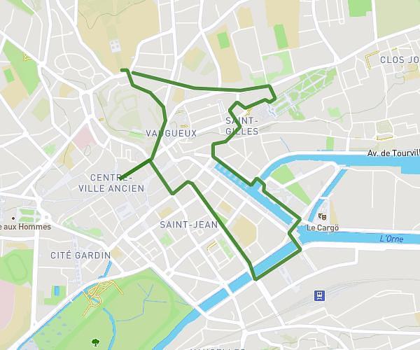
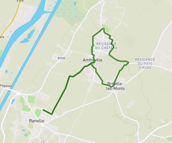
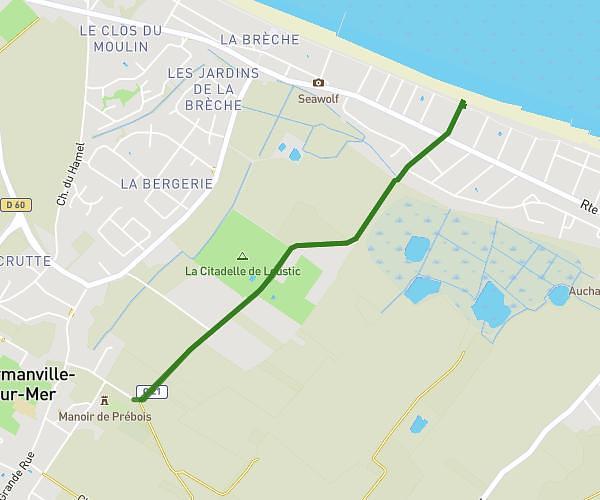
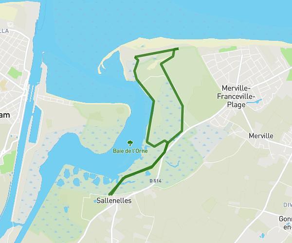
This walking route covers 3.53mi starting from Colombelles, Calvados. The walk is a loop trail and returns to the trailhead. This walk is rated as easy, plan for about 1h16m to complete it. The route has an elevation gain of 246ft and an elevation loss of 246ft.
COLOMBELLES PLATEAU
Route details
21:30/mi
Pace
310 kcal
Calories burned
Loop trail
Route type
16ft
Min altitude
128ft
Max altitude
Route profile
246ft
Elevation gain
246ft
Elevation loss
16ft
Min altitude
128ft
Max altitude
How to get there
Trailhead: Rue De L'hôtellerie, 14120 Colombelles
GPS coordinates of the trailhead: 49.18428, -0.30975 / 49°11'3'' N, 0°18'35'' W