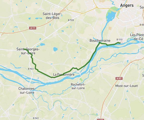
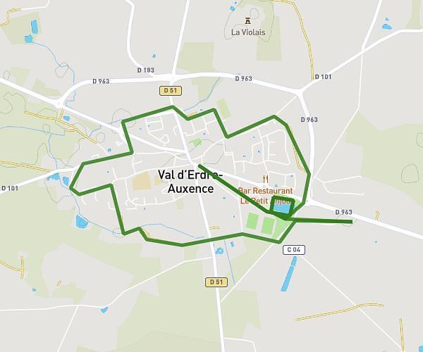
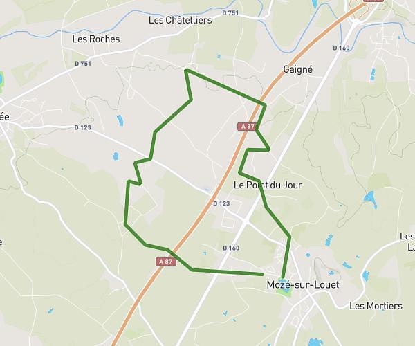
This running route covers 5.043mi starting from Angers, Maine-et-Loire. The run is a loop trail and returns to the trailhead. This run is rated as moderate, expect about 54m to complete it. The route has an elevation gain of 499ft and an elevation loss of 495ft.
Parcours balzac - st nicolas
Route details
5.6mph
Speed
617 kcal
Calories burned
Loop trail
Route type
36ft
Min altitude
154ft
Max altitude
Route profile
499ft
Elevation gain
495ft
Elevation loss
36ft
Min altitude
154ft
Max altitude
How to get there
Trailhead: 2 Boulevard Ayrault, 49100 Angers, France
GPS coordinates of the trailhead: 47.477233, -0.553293 / 47°28'38'' N, 0°33'11'' W