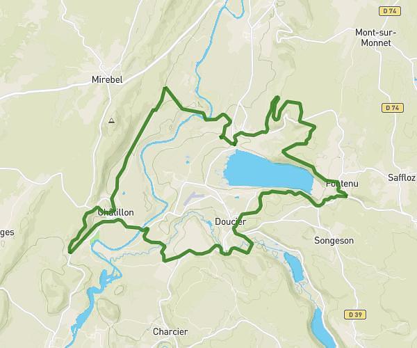
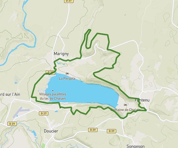
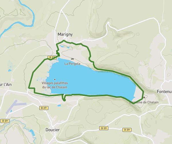
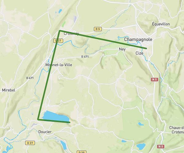
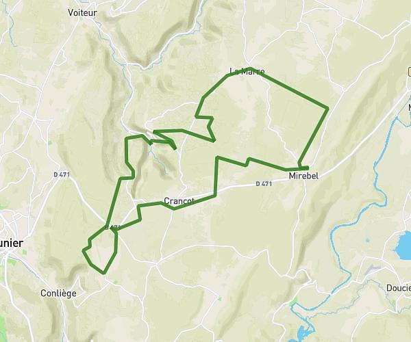
This cycling route covers 17.217mi starting from Champagnole, Jura. The ride is a loop trail and returns to the trailhead. This route is rated as moderate, plan for about 1h48m to complete it. The route has an elevation gain of 328ft and an elevation loss of 328ft.
Boucle : Champagnole - Crotenay - Champagnole en passant par la voie PLM
Route details
950 kcal
Calories burned
0.7%
Avg grade
Loop trail
Route type
1699ft
Min altitude
1988ft
Max altitude
Route profile
328ft
Elevation gain
328ft
Elevation loss
1699ft
Min altitude
1988ft
Max altitude
How to get there
Trailhead: 26 Avenue Jean Jaurès, 39300 Champagnole, France
GPS coordinates of the trailhead: 46.73655, 5.9197 / 46°44'11'' N, 5°55'10'' E