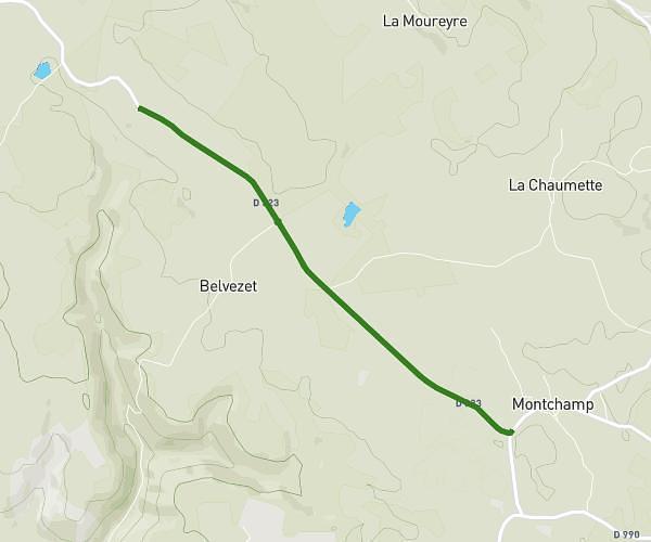
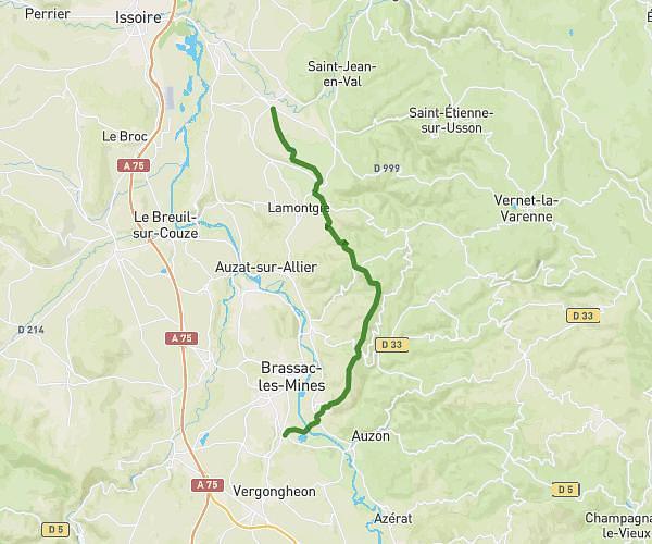
This running route covers 6.69mi starting from Saint-Just-près-Brioude, Haute-Loire. The run is a loop trail and returns to the trailhead. This run is rated as moderate, expect about 2h24m to complete it. The route has an elevation gain of 1289ft and an elevation loss of 1260ft.
Course n1
Route details
2.79mph
Speed
1646 kcal
Calories burned
Loop trail
Route type
1644ft
Min altitude
2329ft
Max altitude
Route profile
1289ft
Elevation gain
1260ft
Elevation loss
1644ft
Min altitude
2329ft
Max altitude
How to get there
Trailhead: 4 Rue Du Château, 43100 Saint-Just-près-Brioude, France
GPS coordinates of the trailhead: 45.23847, 3.35403 / 45°14'18'' N, 3°21'14'' E