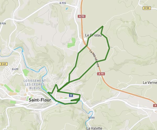
This running route covers 6.639mi starting from Saint-Flour, Cantal. The run is a loop trail and returns to the trailhead. This run is rated as moderate, expect about 1h11m to complete it. The route has an elevation gain of 39ft and an elevation loss of 49ft.
Saint flour 2
Route details
5.61mph
Speed
812 kcal
Calories burned
Loop trail
Route type
2497ft
Min altitude
2546ft
Max altitude
Route profile
39ft
Elevation gain
49ft
Elevation loss
2497ft
Min altitude
2546ft
Max altitude
How to get there
Trailhead: 72 Avenue De La République, 15100 Saint-Flour, France
GPS coordinates of the trailhead: 45.03387, 3.109592 / 45°2'1'' N, 3°6'34'' E